
Pampero
React NativeExpoTypeScriptSupabase
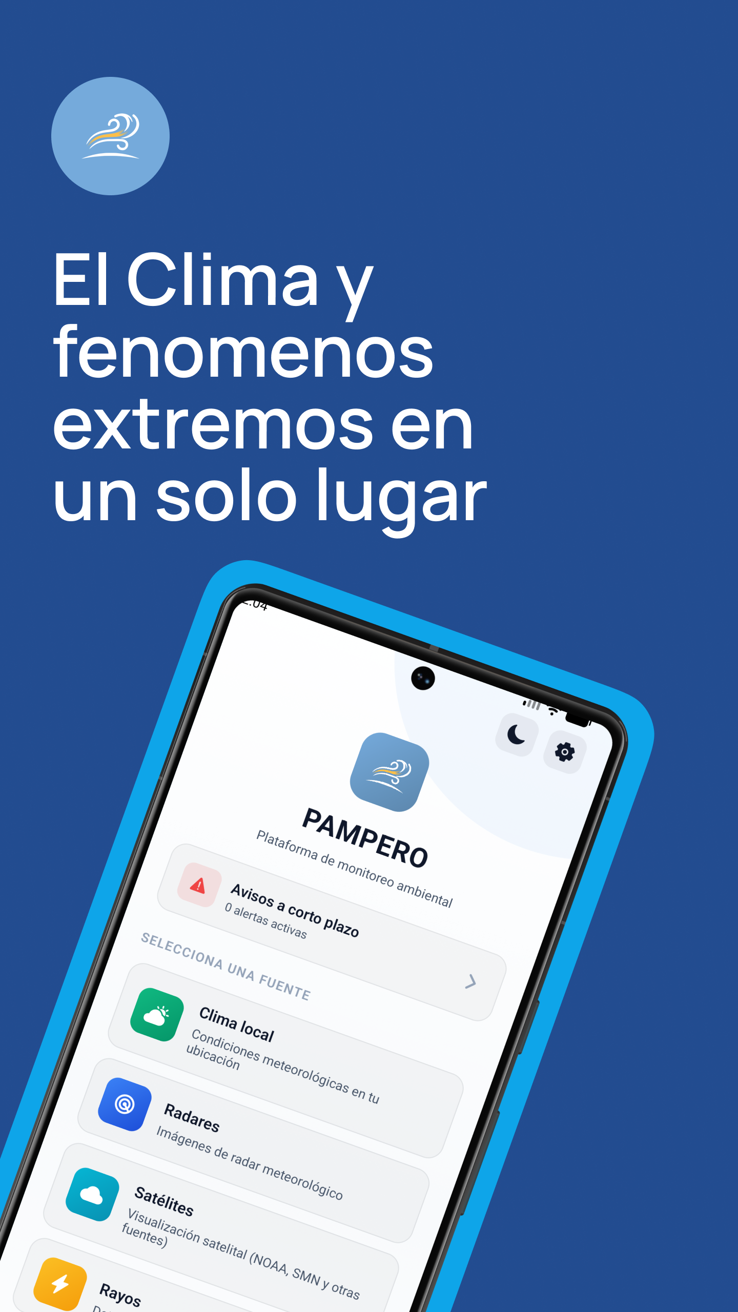
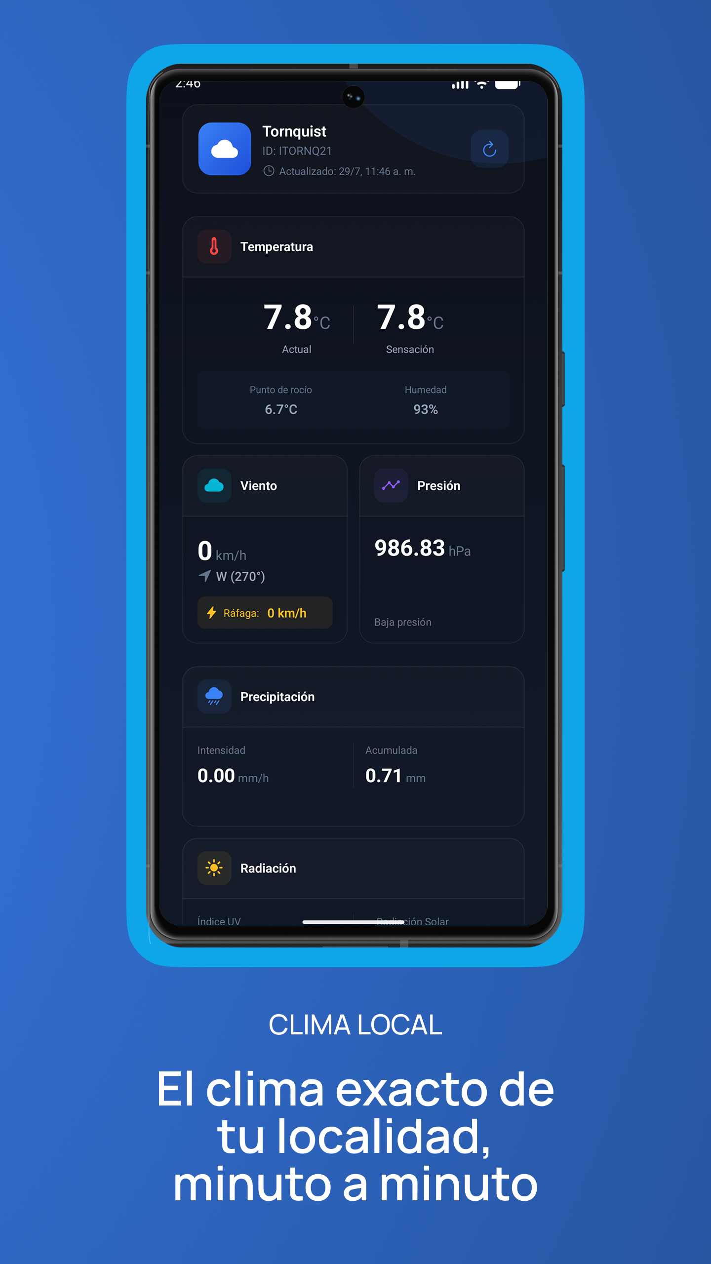
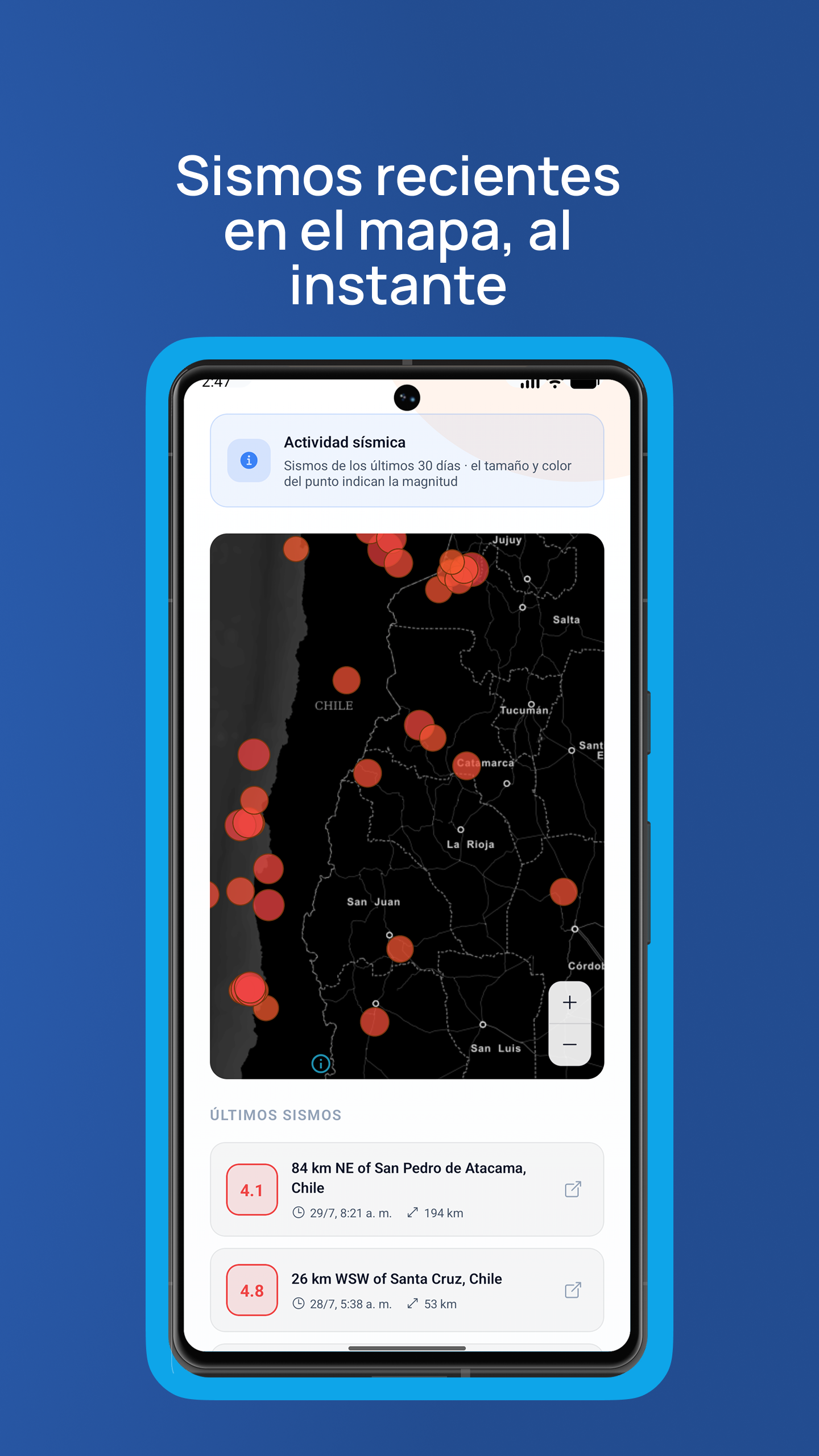
Environmental monitoring mobile app that centralizes radar, satellite imagery, short-term weather alerts, seismic activity, fire hotspots and hydrological data from official and third-party sources in one place.
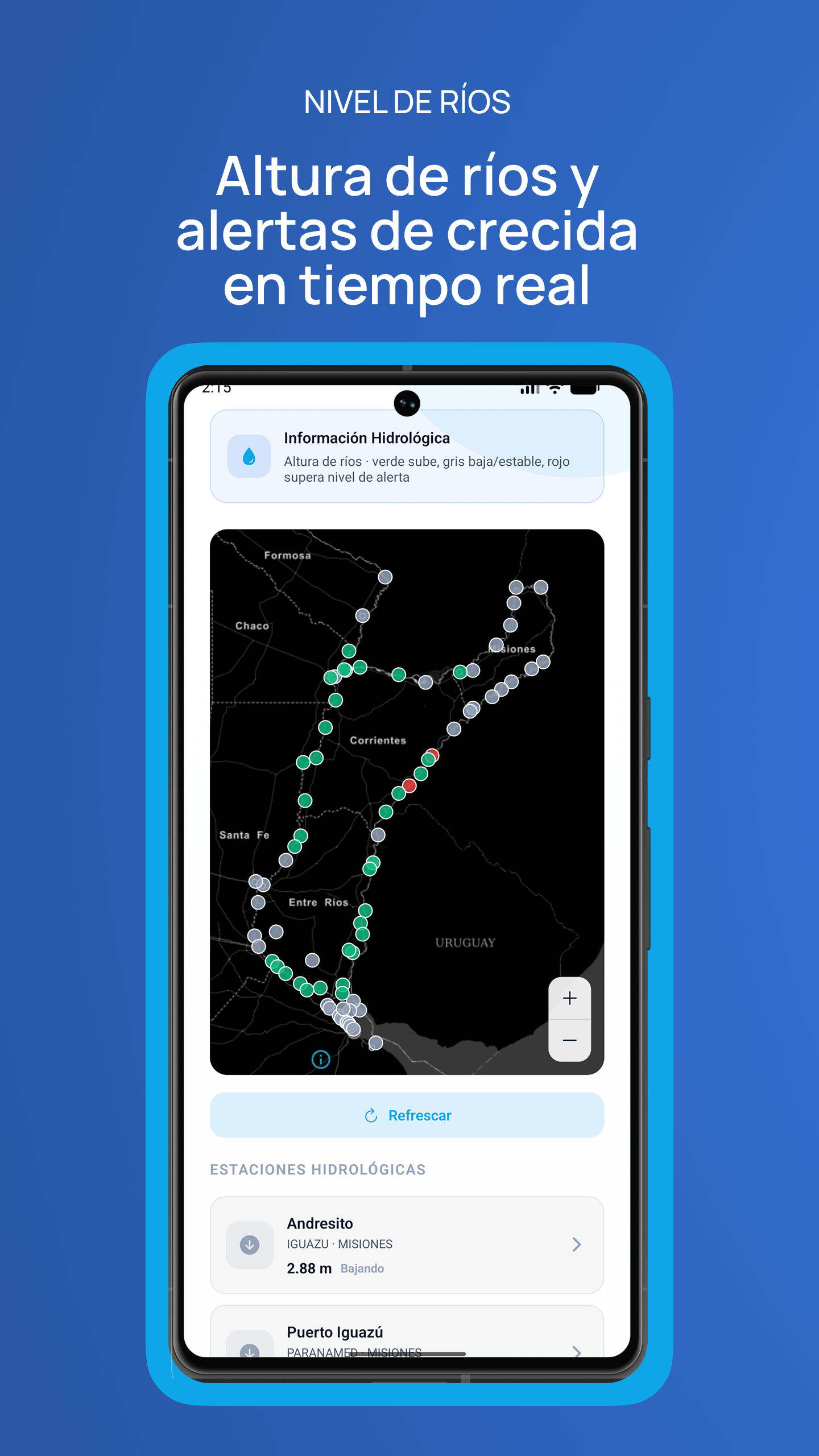
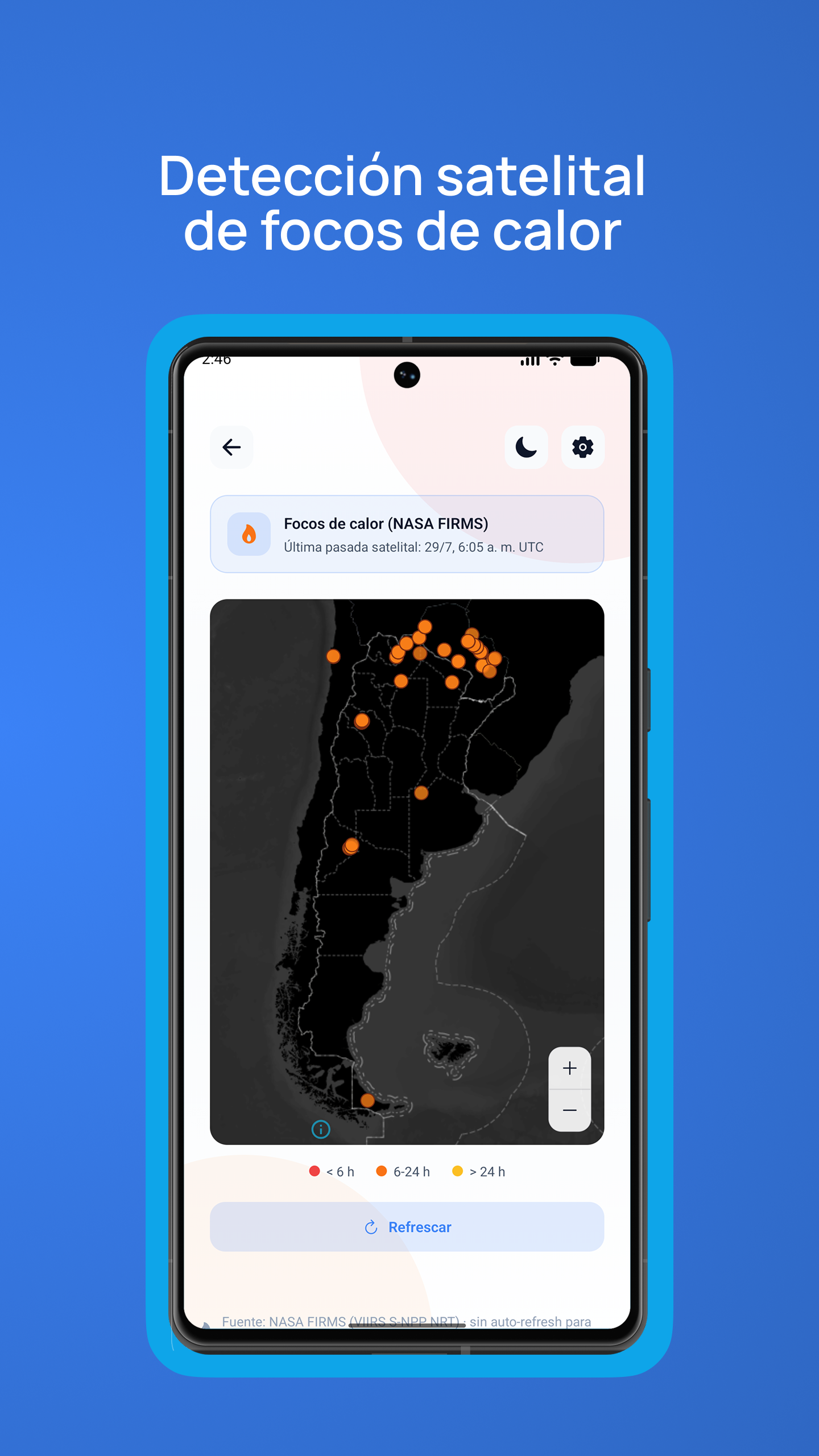
- ·Integrates multiple public data sources: SMN, INA, NASA FIRMS, USGS and NOAA/STAR
- ·Interactive maps with MapLibre for earthquakes, fires and hydrological stations, with disk-persisted stale-while-revalidate caching
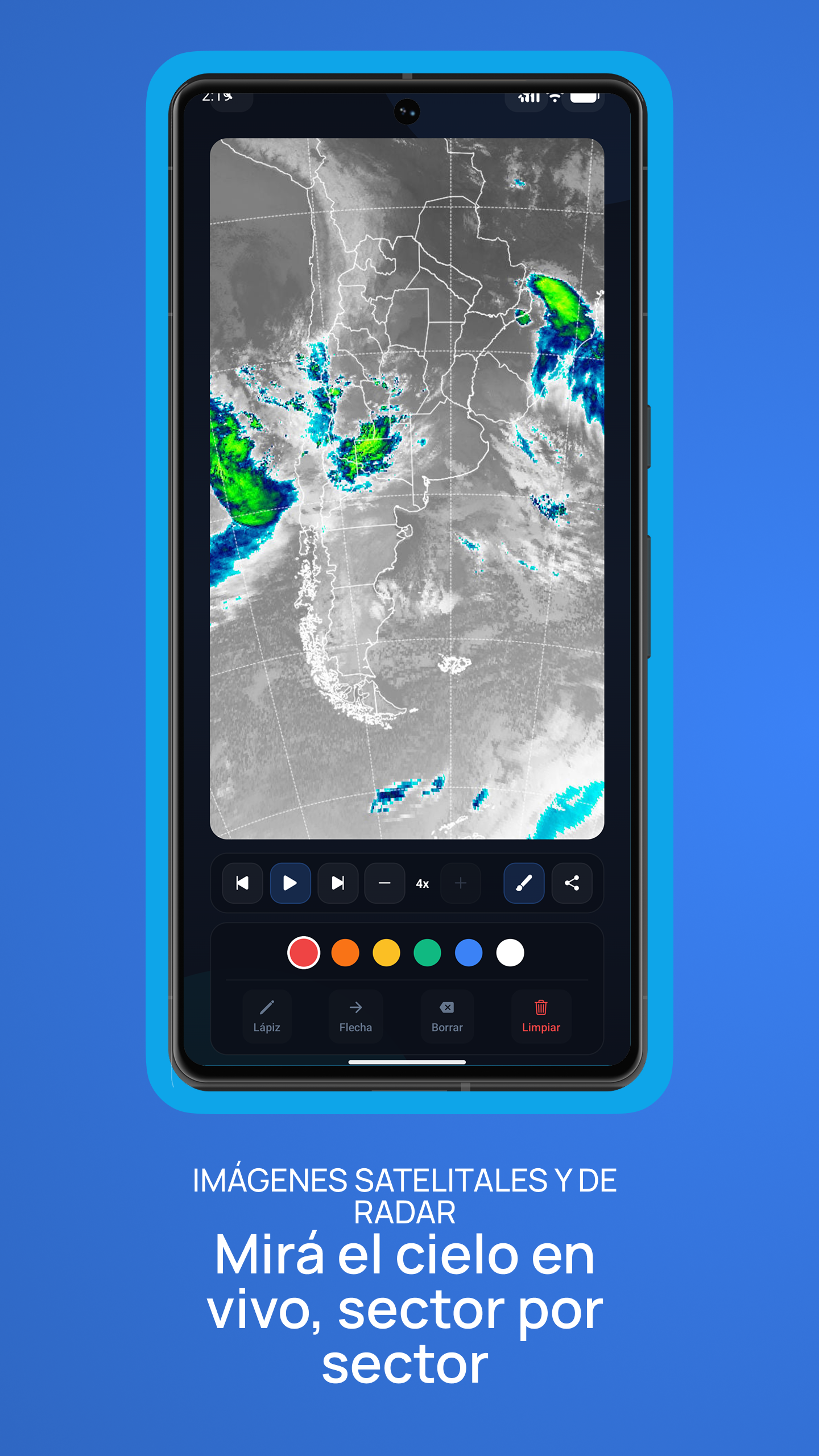
- ·Radar and satellite sequence player with on-image drawing, adjustable playback speed and GIF export
- ·Remote configuration via Supabase to toggle sections and ads without shipping a new release
- ·Monetization with Google AdMob (banner and interstitial) and a Premium subscription via RevenueCat